
Land surveying has come a long way from traditional tools like chains and compasses. Today, cutting-edge technology is revolutionizing the industry, bringing unprecedented accuracy, speed, and data richness to every project.
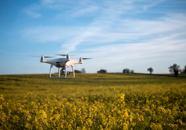
Drones have become a game-changer, allowing surveyors to capture aerial images and generate detailed orthomosaic maps quickly and safely — even in difficult or hazardous terrains. Using drones, survey teams can cover large areas in a fraction of the time it used to take, while also collecting high-resolution imagery for detailed analysis.
DGPS (Differential GPS) and Total Stations have elevated precision to centimeter-level accuracy, crucial for complex mining operations and construction projects. These tools enable real-time data collection and instant verification, reducing errors and rework.
Moreover, 3D modeling and digital terrain mapping now allow stakeholders to visualize sites and plans with remarkable detail, helping in better decision-making and project management.
As these technologies continue to evolve, the surveying industry will become even more efficient, safer, and more integrated with digital workflows — ultimately leading to better outcomes in mining, construction, and land development.